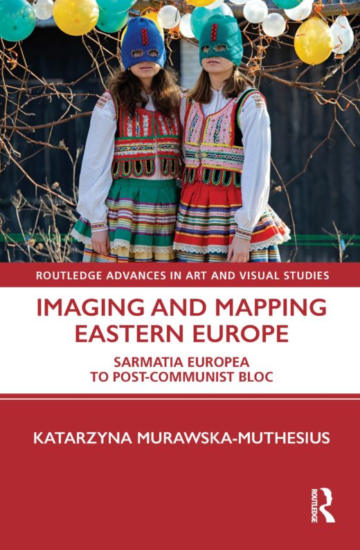
Imaging and Mapping Eastern Europe
Katarzyna Murawska-Muthesius, Imaging and Mapping Eastern Europe (New York and Oxford: Routledge, 2021), 252 PP.
Imaging and Mapping Eastern Europe is a broad survey of images, created mainly in Britain, showing maps, people, landscapes, and cartoons of Eastern Europe. The author presents a long-durée analysis that extends from the Renaissance to present times and goes through diverse mediums of representation that have rarely been analyzed together: maps, engravings, photographs, cartoons, and book covers. Murawska-Muthesius makes a convincing statement for the significance of visual culture and specifically for the power of images not only to represent, but also to actively create … Read more


